Revolutionizing Forest Monitoring with Drones and AI
Kanopia project uses drones and AI technology for enhanced monitoring of tropical forests, aiding conservation efforts globally.
As the planet grapples with climate change, forests stand out as crucial carbon sinks facing significant threats. Monitoring these expansive ecosystems has remained a daunting task for scientists. To address this, a group led by Etienne Laliberté, a Full Professor at Université de Montréal and Mila, has initiated the Kanopia project. This innovative research collective combines drone imagery and artificial intelligence (AI) to make forest monitoring more accessible for researchers, communities, and conservationists worldwide.
Unveiling Harpia: The Automated Workflow
In a recent publication in Methods in Ecology and Evolution, the Kanopia team introduced Harpia, an open-source automated system designed for acquiring ultra-high-resolution images of tropical canopies. This clever workflow allows scientists to capture close-up visuals of trees quickly and efficiently. "Tropical forests are vital carbon sinks, and without them, our climate would be drastically different," says Laliberté.
Bridging the Gap: Drones to the Rescue
Monitoring forests on a large scale poses challenges; while satellites can cover vast landscapes, they often miss the finer details at the species level. Field surveys, though accurate, are limited in scope. Drones emerge as the ideal solution, filling the void between these two methods.
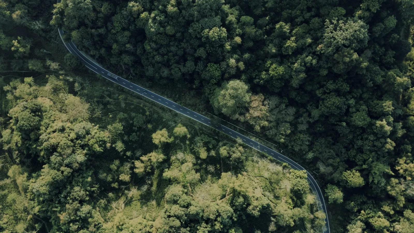
The process starts with mapping the forest from high above, where AI algorithms pinpoint and outline individual tree crowns on the aerial map. Once the target crowns are established, the drones autonomously adjust their flight paths to capture detailed images of leaves, flowers, and fruits necessary for tree identification. This groundbreaking approach enables the system to gather in a single day what previously took months of manual surveying.
The Power of Harpia's Technology
Developed as part of the team's entry for the XPRIZE Rainforest, Harpia is a Python library that orchestrates flight missions using standard drones. Initially, pilots execute broad, wide-angle surveys over extensive areas, up to 200 hectares, to gather imagery that gets processed into detailed models. Then, guided by precise GPS technology, drones return to specified tree crowns. Hovering at about 6 meters, the drones can capture images with a resolution of 0.2 to 0.4 mm per pixel, allowing botanists to observe details such as leaf patterns and flowers on their screens.
This setup enables a single drone pilot to photograph around 300 tree crowns each day, with recent adjustments pushing that number beyond 1000. From a single launch point, roughly 2,800 hectares of forest can be monitored within a 3-kilometer radius.
Training AI for Better Tree Identification
To effectively train AI in recognizing tree species over vast landscapes, the Kanopia team relied on comprehensive datasets. Their pilot programs were anchored at Barro Colorado Island in Panama, a renowned research hub with an extensive history of botanical studies.
"Barro Colorado Island is exceptionally significant for our studies; we benefit from a century of botanical records here," explains Helene Muller-Landau, a Senior Scientist at the Smithsonian Tropical Research Institute. This rich history gives the team a solid foundation for developing AI models capable of automated species classification across various ecosystems.
So far, over 24,000 canopy trees have been photographed in Panama, Ecuador, and Brazil, creating an essential benchmark for future AI efforts.
Enhancing Forest Conservation Efforts
Regular drone flights are not only about capturing images; they also provide insights into how forests adapt to environmental stressors. As noted by Adriane Esquivel-Muelbert, a leading figure in global change ecology at the University of Cambridge, the Kanopia project significantly transforms our understanding of tropical ecosystems. It allows for ecosystem-level analysis and nearly real-time assessments of how forests respond to climate change.
Frequent monitoring can help predict how individual trees cope with heat waves or drought, inform the selection of species for restoration efforts, and enable local communities to track forest health over time. By making Harpia an open-source tool, the Kanopia project significantly reduces costs and technical barriers, empowering conservationists everywhere to protect and restore these essential forest ecosystems.